Abbotsford Flooding: Navigating the Complexities of Extreme Weather Events
The reality of Abbotsford flooding presents an incredibly complex challenge for infrastructure planners, local farmers, and everyday residents attempting to navigate increasingly extreme weather events. You hear about roads washing out, farms going underwater, and massive community evacuations, but understanding the exact mechanics behind these disasters provides a clearer picture of what needs to change. When atmospheric rivers hit the region, the geographic vulnerabilities of the Fraser Valley are immediately put to the ultimate test. Addressing these vulnerabilities requires a deep understanding of historical geography, economic impacts, and the urgent need for modernized flood management strategies.
Protecting the Sumas Prairie and surrounding communities is not just about building higher walls; it involves intricate cross-border negotiations, continuous engineering upgrades, and advanced meteorological forecasting. If you want to grasp how a modern agricultural hub deals with catastrophic water flow, you have to look closely at the underlying topography and the aging infrastructure that holds back the tide. The stakes are massive, affecting national food supply chains, major transportation corridors, and the livelihoods of thousands of people.
Read also: Explore Kitsault BC: Canada's Pristine Ghost Town; Gas Prices Winnipeg: Trends, Taxes, and Tips to Save.
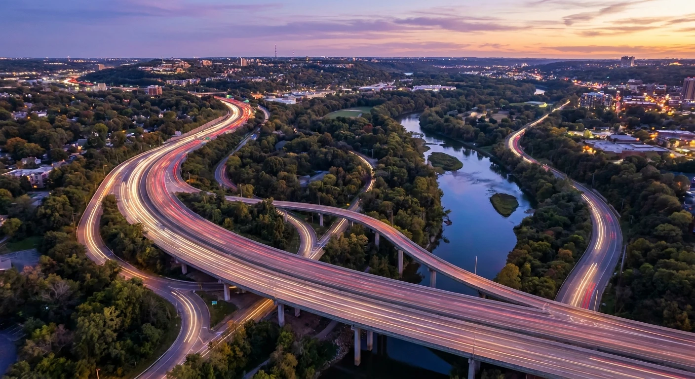
The direct harm caused by these catastrophic water events spans across multiple sectors, creating long-term structural and economic deficits. Agricultural devastation is often the most visible immediate impact, with vital poultry, dairy, and crop operations suffering immense losses. Beyond the farms, critical public infrastructure faces severe degradation. Highways that serve as vital economic arteries are submerged, severing supply chains and isolating communities. The value of comprehensively upgrading our response and infrastructure networks cannot be overstated. By investing in modern defenses, municipalities can prevent catastrophic financial ruin, save millions in emergency response costs, and secure regional food networks.
| Impact Category | Direct Damage Experienced | Long-Term Consequence |
|---|---|---|
| Agricultural Sector | Loss of livestock, flooded crops, destroyed equipment | Years of soil rehabilitation, massive economic deficits, disrupted local food supply |
| Public Infrastructure | Submerged highways, washed-out bridges, overwhelmed pumps | Costly multi-year rebuilding projects, permanent supply chain realignments |
| Residential Areas | Flooded basements, structural foundation damage, lost property | Decreased property values, increased insurance premiums, community displacement |
To systematically evaluate and manage these specific regional flood risks, urban planners and emergency management teams must execute a precise sequence of analytical steps:
- Advanced Topographical Mapping: Utilizing LiDAR and satellite imagery to identify the lowest elevation points and predict exact water accumulation zones.
- Hydrological Modeling: Simulating extreme rainfall events to determine how fast local rivers and drainage canals will breach their containment banks.
- Infrastructure Stress Testing: Conducting rigorous physical and mathematical evaluations of existing pump stations, gravity gates, and earthen dikes.
- Emergency Logistics Auditing: Mapping out secure evacuation routes, establishing safe zones for large livestock, and pre-positioning critical emergency supplies before the storm season begins.
The Origins of Sumas Prairie
To fully grasp the magnitude of the situation, you must look back to the early 1920s. The area known today as the Sumas Prairie was originally Sumas Lake, a vast, shallow body of water that naturally absorbed regional runoff and provided a thriving ecosystem for indigenous communities and local wildlife. Driven by a desire for highly fertile agricultural land, ambitious engineering projects completely drained the lake. While this created some of the most productive farming soil in British Columbia, it placed thousands of acres of valuable property directly in a geographical bowl, sitting below the high-water marks of the surrounding river systems. The inherent risk of farming on an ancient lake bed remains the foundational challenge of the region.
Evolution of the Dike System
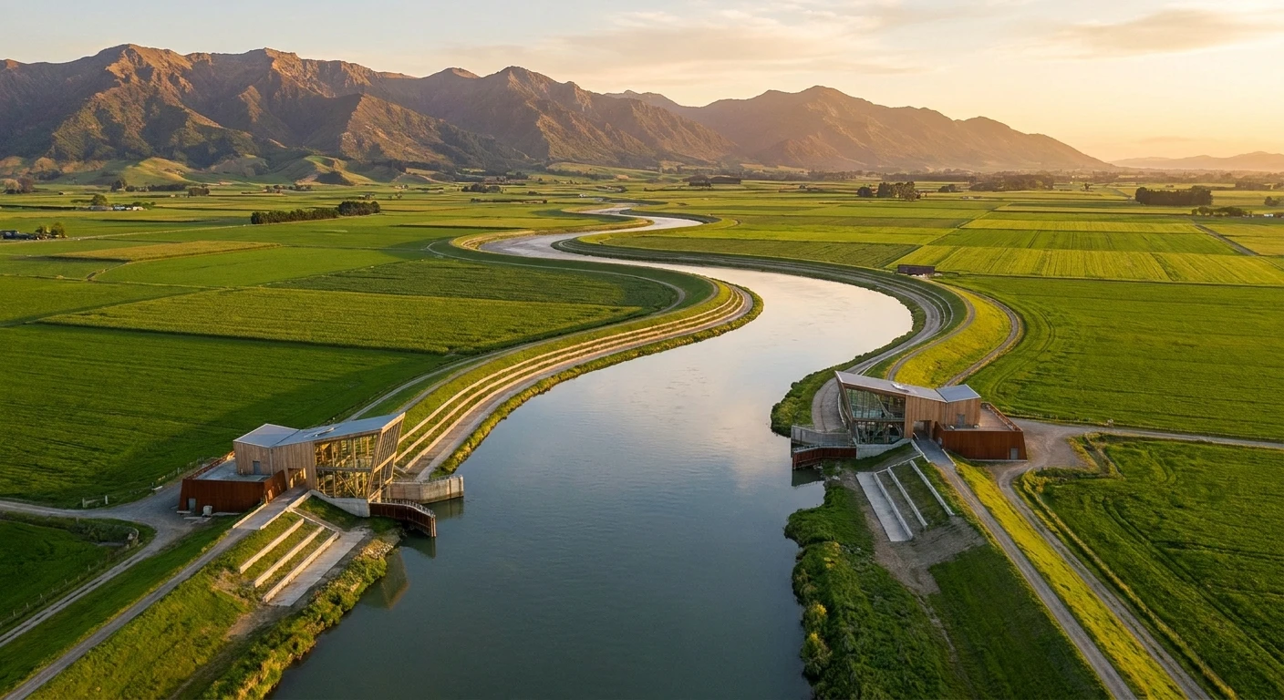
Once the lake was drained, keeping the water out required an elaborate network of earthen dikes and drainage canals. For decades, this infrastructure successfully managed typical seasonal rainfall and minor river swells. A crucial component of this evolution was the construction of the Barrowtown Pump Station, a massive mechanical marvel designed to artificially lift excess water out of the low-lying prairie and push it into the Fraser River. Concurrently, the regional dike system had to account for the Nooksack River, which flows southward in Washington State but historically spills northward into the Canadian prairie when its banks overflow. Over the decades, these aging earthen walls settled, eroded, and faced natural degradation, gradually lowering their effective protection capacity.
Modern State of Flood Infrastructure
Today, the infrastructure protecting the region is caught between aging materials and the escalating severity of modern climate patterns. Engineering assessments frequently highlight that the historical 100-year flood maps are completely outdated. The dikes require massive reinforcement, widening, and elevating to handle volumes of water that earlier engineers never anticipated. Furthermore, managing this infrastructure is deeply complicated by international borders. Because the floodwaters often originate from the United States, finding a permanent solution requires complex, binational cooperation, joint funding models, and synchronized water management policies that are still actively being negotiated.
The Mechanics of Atmospheric Rivers
The primary meteorological driver behind these severe events is the atmospheric river. These are essentially massive, airborne currents of highly concentrated water vapor that travel across the Pacific Ocean. Often referred to colloquially as a ‘Pineapple Express’ when originating near Hawaii, these narrow bands can transport an amount of water vapor equivalent to the flow of several Mississippi Rivers. When an atmospheric river makes landfall and hits the mountainous terrain of the Pacific Northwest, the air is forced upward. It cools rapidly, condensing the vapor and releasing staggering, torrential downpours over a very short period. The sheer volume of precipitation quickly overwhelms local watersheds, saturating the earth faster than natural evaporation or drainage can occur.
Hydrology and Topographical Vulnerability
The physics of water management in a drained lake bed heavily rely on gravity and mechanical intervention. When the massive Fraser River runs low, gravity gates open, allowing excess water from the Sumas Prairie to naturally flow out. However, during extreme rainfall, the Fraser River swells significantly. When the river level rises higher than the prairie, those gravity gates must be tightly closed to prevent the river from rushing backward into the farms. At that exact moment, the region becomes entirely dependent on mechanical pumps.
- Soil saturation limits the earth’s natural sponge effect; once the ground is fully soaked, 100 percent of new rainfall becomes immediate surface runoff.
- The Nooksack River lacks sufficient natural containment ridges, making its northward floodpath into lower elevations a predictable hydrological certainty.
- Mechanical pump stations operate with a strict maximum volumetric capacity; if the inflow of rainwater exceeds the pump’s gallons-per-minute rating, water accumulates exponentially.
- Prolonged submersion causes soil liquefaction, severely weakening the structural integrity of earthen dikes and roads, leading to sudden, catastrophic breaches.
Step 1: Comprehensive Risk Assessment
The foundation of community protection begins with hyper-accurate data collection. Municipalities must deploy advanced drones and ground sensors to continuously monitor the structural health of every levee, dike, and canal. This real-time data allows engineers to spot microscopic land shifts and soil degradation before a major storm hits.
Step 2: Upgrading Pumping Infrastructure
The Barrowtown Pump Station and similar facilities require total modernization. This includes installing high-capacity, heavy-duty impellers, securing independent, fail-safe backup power grids, and building redundant pump houses so that mechanical failure during a crisis does not result in immediate regional inundation.
Step 3: Reinforcing and Elevating Dikes
Existing earthen barriers must be fundamentally rebuilt using modern geotechnical standards. This involves driving steel sheet piles deep into the bedrock to prevent subterranean seepage, widening the bases of the dikes to resist massive lateral water pressure, and raising the overall height to match new climate projections.
Step 4: Implementing Early Warning Systems
Communities need immediate access to specialized meteorological data. Upgraded early warning systems must integrate directly with international weather stations, sending automated, geographically targeted mobile alerts to residents hours or days before an atmospheric river makes landfall.
Step 5: Cross-Border Hydrological Cooperation
Water respects no political boundaries. Establishing binding treaties and joint-action task forces with neighboring Washington State officials is mandatory. Both regions must coordinate their river dredging operations, debris clearing, and spillway management to ensure one side’s solution does not flood the other.
Step 6: Agricultural Zoning Adjustments
Long-term resilience requires shifting how the land is used. Local governments should incentivize farmers to relocate the most vulnerable livestock operations away from the deepest parts of the former lake bed, reserving the lowest elevations for flood-tolerant seasonal crops or designated overflow reservoirs.
Step 7: Community Emergency Preparedness
Every resident must possess a concrete action plan. This means preparing customized emergency go-bags, understanding multiple designated evacuation routes, and participating in annual municipal flood drills to ensure panic is minimized and rapid evacuation protocols are executed flawlessly during a real emergency.
Debunking Common Assumptions
Myth: The severe flooding events in this region were entirely unpredictable and completely unprecedented anomalies.
Reality: Hydrologists and environmental engineers warned for decades that the combination of the Nooksack River overflow, aging earthen dikes, and the inherent low elevation of the former lake bed created a highly predictable vulnerability requiring urgent infrastructure funding.
Myth: Building exceptionally tall, concrete dikes is the singular, permanent solution to keeping the water out forever.
Reality: Water management is incredibly complex; extremely high walls simply push the catastrophic risk downstream to other communities. True resilience demands a combination of managed flood plains, improved pumping capacity, and cross-border river management.
Myth: The impacts are heavily localized, affecting only rural farmers and livestock operations.
Reality: Severe water overflow completely severs major national transportation corridors like the Trans-Canada Highway, triggering massive supply chain disruptions, fuel shortages, and economic fallout that impacts the entire nation.
What is the Sumas Prairie?
The Sumas Prairie is a highly fertile, low-lying agricultural region that was created in the 1920s by artificially draining Sumas Lake to provide expansive farming acreage for the growing population.
How does the Nooksack River contribute to the issue?
Originating in Washington State, the Nooksack River frequently overtops its banks during heavy rain. Because the land naturally slopes downward toward the north, millions of gallons of water bypass the border and flow directly into the Canadian prairie.
What is an atmospheric river?
It is a long, narrow band of highly concentrated moisture traveling through the atmosphere. When it meets mountainous terrain, it acts like a massive firehose, dumping weeks worth of rain in a matter of hours.
Can atmospheric rivers be predicted?
Yes, modern meteorological satellites can track atmospheric rivers as they form over the Pacific Ocean, usually providing a few days of critical warning before they make landfall and trigger extreme rainfall.
What is the Barrowtown Pump Station?
It is a critical piece of mechanical infrastructure featuring massive pumps that forcefully lift excess water out of the low-elevation prairie and discharge it safely into the higher Fraser River.
Why can’t the gravity gates stay open during a storm?
When heavy rains cause the Fraser River to swell, its water level rises higher than the prairie. If the gravity gates were left open, the massive river would flow backward, rapidly filling the agricultural basin.
Are major highways safe during these events?
During catastrophic storms, vital routes like Highway 1 are routinely submerged, structurally undermined, and officially closed by authorities to prevent loss of life and vehicle damage.
How long does agricultural recovery take?
Rebuilding takes years. Beyond repairing destroyed barns and replacing lost equipment, floodwaters deposit toxic debris and silt, requiring extensive soil remediation before crops can safely grow again.
Building absolute resilience against future Abbotsford flooding demands sustained political willpower, massive infrastructure investment, and unwavering community awareness. The solutions are technically complex but completely achievable with modern engineering and collaborative cross-border planning. Stay informed about local infrastructure updates, advocate for robust emergency preparedness funding, and ensure your own household understands exactly what to do when the next major storm approaches.